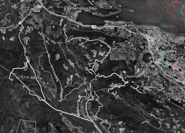
You'll need red/cyan glasses to view these. Red/green will work, but not that well.
 |
| The two summits of Mt Decosmos |
 |
| Doumont Trail and the Tank Traps |
 |
| West from Fourth Lake |
 |
| South from Fourth Lake to Cowichan Lake |
 |
| Local Logging Roads |
 |
| Okay Mt Valley to Rhododendron Lake |

Great shots, and just spend hours digging out my red cyans. I think the vertical displacement is greatly exaggerated considering the parts I have ridden. But if not: hell there looks to be some great views! Roll on summer!
ReplyDeleteNow you mention it, they are pretty steep looking. They're peeled right off of Google Earth... Maybe they fiddle with the z-axis a little to help with seeing the 3d effect as you move the image. Interesting.
ReplyDeleteGoogle Earth's "Elevation Exaggeration" is set to 1 as a default. It can be reset in the options settings. Presumably. "0" means no exaggeration, although it looks like the settings go from .5 to 3.
ReplyDelete