Here's the route:
1. Entered at Doumont
2. Left towards Boomerang
3. Left again
4. Pass Boomerang and keep left
5. Continued along length of Mt. Benson and turned up road that leads to Lucid Lake
6. Followed creek bed leading up Blackjack Ridge.
7. Through new gate. (Logging roads look very new up here)
8. Best view on Blackjack Ridge, overlooking Nanaimo Lakes
9. Another nice spur road with an outstanding view
10. The steep rocky section... heading down this time
11. Descent towards Boomerang Lake
12. Out
 |
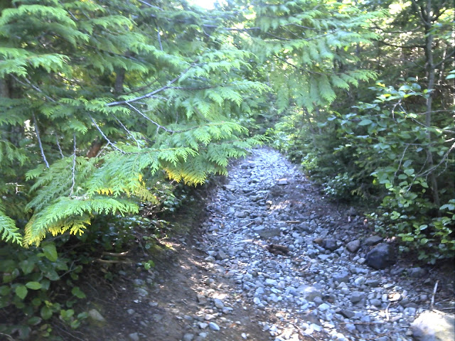
| The uphill creek bed at #5 |
 |
| The creek bed continues like this for about a kilometer |
 |
| New logging gate at #7. A few newer logging roads connect up here. |
 |
| 180° Panoramic view looking SW from the best view location on the ridge (#8). |
 |
| Nice section of spur trail (#9). |
 |
| A shot along the power lines at #9 |
Just past this location the road begins a steep descent towards the spot where I decided against continuing on previous rides (#10). It's a great deal easier going down, although there are a few spots where I slowed to a miserable crawl. No pic unfortunately... It's funny how the thought of photos disappears when your watching your front tire so carefully. :)
 |
| First and Second Lake from location #8 |
gpx track
kmz track


No comments:
Post a Comment
Please Leave a Comment: